
Colophon
On the imagery.
The imagery throughout this site is false-color aerial and satellite photography from the United States Geological Survey, in the public domain. It is used without alteration beyond color calibration.
Why it is here
A reason beyond aesthetics.
The founding principal worked as a cartographer for the New York State Department of Transportation and taught remote sensing, aerial photography, cartography and environmental land use planning at college level, very early in his career.
The interest in reading land from above predates the Geographic Information Systems that now do it digitally.
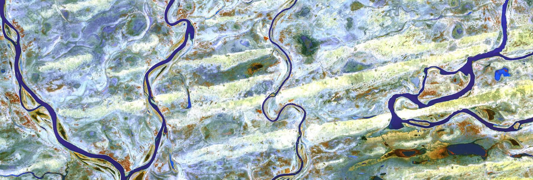
False-color infrared · U.S. Geological Survey · public domain
Built with
Type, stack and color.
- Display
- Newsreader
- Text
- Instrument Sans
- Metadata
- JetBrains Mono
- Accent
- Sampled from the false-color infrared response of living vegetation
- Dark field
- Sampled from the water in the same plates
- Built with
- Astro on Cloudflare Pages
Imagery courtesy of the U.S. Geological Survey.
Stay in touch
We will only send what you asked for.